Florence, bike counters “reveal” the city that pedals: data, critical issues, and choices for sustainable mobility
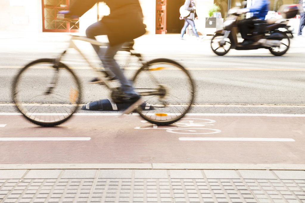
In Florence, the discussion on bike lanes is finally moving beyond mere impressions and into numbers. Between December 2025 and January 2026, new counting devices installed along various urban routes have begun to provide a clearer picture of the flow of bicycles (but also scooters and, in some cases, pedestrians) that pass through the city’s bike lanes every day (1).
The numbers that matter: bicycle demand isn’t “seasonal”
The initial results have a simple message: cycling in Florence isn’t just a summer habit. Even with freezing temperatures, December saw high traffic on several monitored stretches: some routes consistently exceeded thousands of transits per day, and in some cases, the number of cyclists was surprisingly high even compared to pedestrians.
In this scenario, the role of bike counters is twofold: on the one hand, they measure the actual use of infrastructure, and on the other, they put an end to a recurring misunderstanding in public debate—that bike paths “are rarely seen” and therefore “useful to few.” The data, however, suggest that the demand already exists and is just waiting to be supported by coherent choices.
From Data to Quality: Route Continuity and Safety at Intersections
This is precisely the point Stefano Corsi, coordinator of the Environment and Energy Commission of the Florence Order of Engineers, addressed. He commented on the launch of the sensor network (reportedly composed of 28 devices), emphasizing two aspects: the value of objective measurement and the fact that, given that the network is still partial, the data could even be underestimated.
But the heart of the analysis is not celebratory. If the numbers certify that many citizens are seeking alternatives to the car, then—Corsi observes—it becomes inevitable to address the known critical issues of urban cycling: discontinuous stretches, “gaps” in the network that force people to rejoin traffic, and above all, conflict points such as intersections and crossings, where the perception of risk discourages even those who would like to cycle regularly.
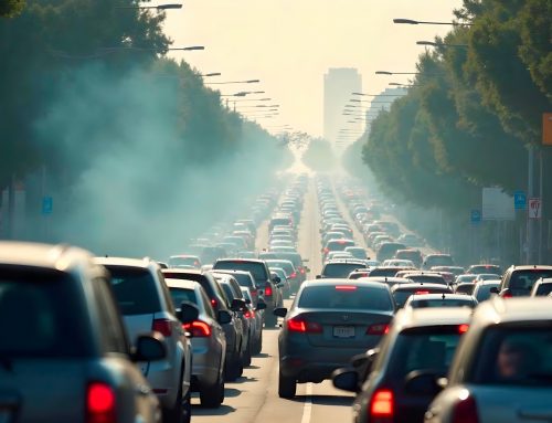
30-mile zones and pedestrian zones: the bike network needs a slower city
The underlying thesis is that cycling mobility isn’t based solely on colored lines on the ground: it requires a city that reduces the pressure of cars. This is why Corsi calls for investing in 30-mile zones and pedestrian zones, i.e., urban planning solutions that free up space and reduce speed, making it more natural (and less stressful) to move without a motor (2). In Bologna, the one-year assessment of this measure has given encouraging results: a reduction in deaths (-43.59%) and accidents (-12.54%) and a positive impact on soft mobility (3).
The point is also temporal: some decisions made during the Covid period, Corsi recalls, are now showing measurable effects—about five years later. It’s a useful reminder for policymakers: cycling isn’t assessed in weeks, but over long time horizons, and requires continuity between planning, maintenance, and road safety.
From measurement to planning: what changes with bike counters
Transforming data into planning is the real challenge. With the resulting numbers we can understand where the network is already strong and which routes are most attractive. The installation of bike counters is part of the Action Plan for Cycling Mobility, linked to air quality measures in Tuscany, and the goal of building a database is useful for monitoring bicycle use and measuring the impact of interventions.
If the bike counters certify that bicycles are “existing,” the next question is: what kind of city do cyclists find around them? Because cycling is not just about linear infrastructure (the cycle path), but also about context: car speed, quality of crossings, sidewalks, intersections, and parking spaces.
Soft infrastructure and services: why safe parking and e-bike charging are becoming part of the network
Bike counters measure movement, but to truly increase soft mobility, we also need to focus on what happens before and after the journey. Where do I park my bike, how safe is it to leave it, can I charge an e-bike without complications, is there a comfortable and well-lit parking space? In a city aiming to make cycling a daily choice, the quality of “micro-infrastructure” (parking, rapid maintenance, charging, safety) becomes extremely crucial.
This scenario includes solutions designed to be installed quickly and provide tangible services at the highest demand points: near intermodal hubs, schools, public offices, sports facilities, parks, and cycle routes where bike counters report significant traffic.
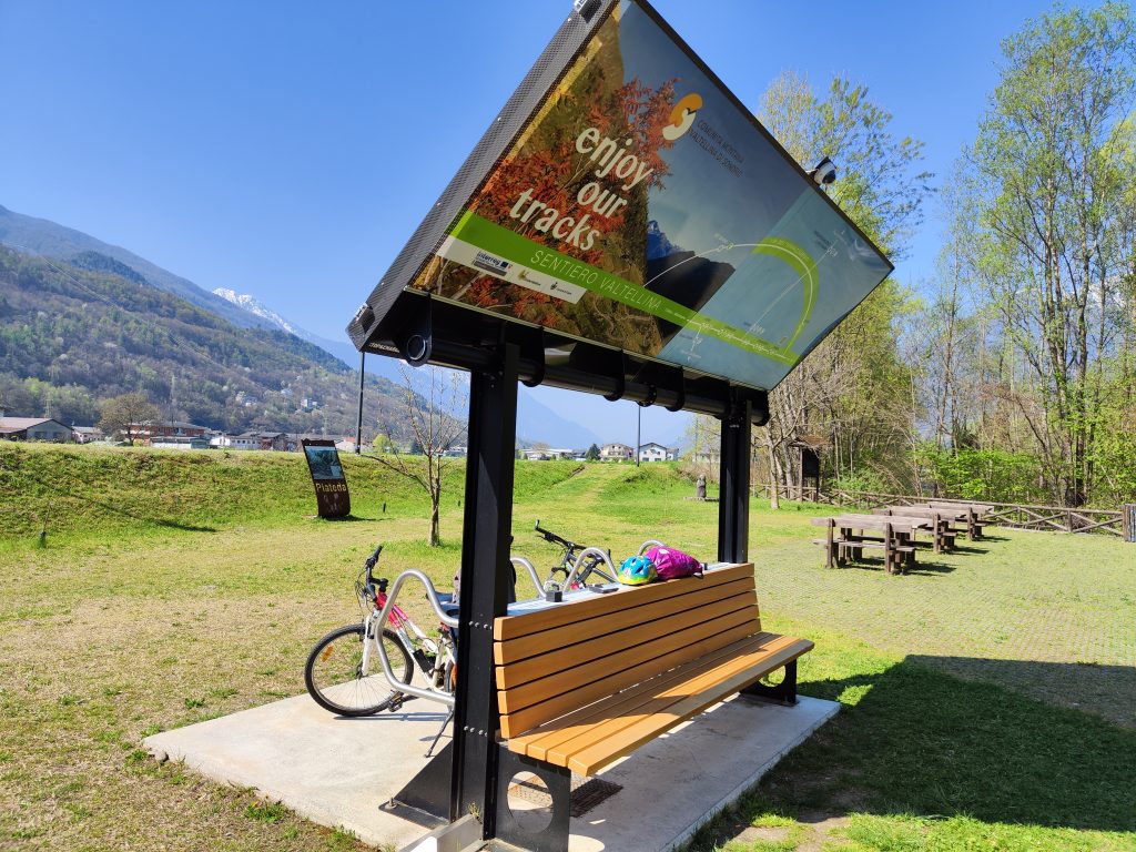
SHELTER, the photovoltaic station that combines e-bike charging, safety, and public space quality
A consistent example of this evolution is the SHELTER station, designed to charge up to eight e-bikes using exclusively on-site solar energy (100% renewable electricity). This is crucial, especially when you want to bring services along the cycle network without relying on invasive construction or lengthy procedures: SHELTER does not require connections to the electricity grid and can be installed without excavation or meters, potentially saving time and costs compared to traditional installations.
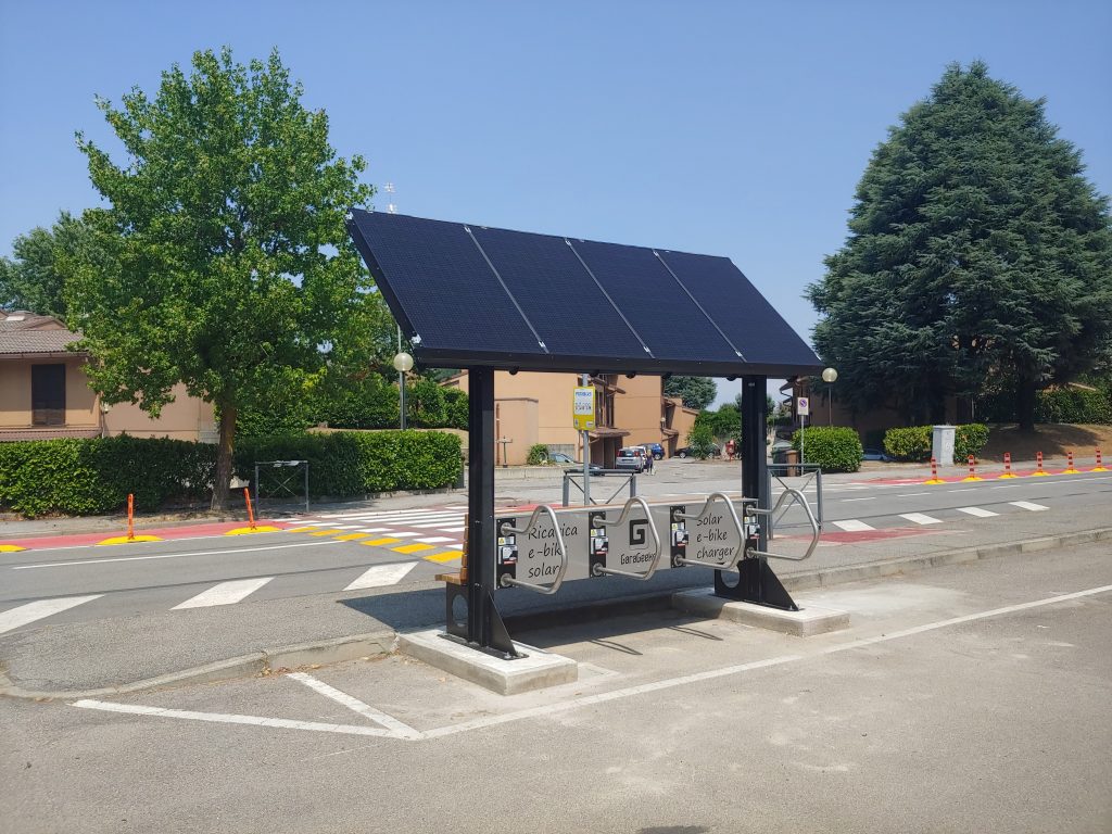
More than just charging: a complete “bike area” to make soft mobility easier and more reliable every day
In a single structure, SHELTER integrates a bench, four bike racks, USB and wireless smartphone charging, a video surveillance camera, emergency bike repair tools, and a 5 m² printed surface customizable with graphics. These elements respond to real needs (parking, safety, minor unforeseen events) and improve the perception of the quality of urban space, especially in areas where traffic flows are increasing and demand for services is stable.
For more information, see the product page: Shelter photovoltaic station
Want to learn more about GaraGeeks and its environmental sustainability products? Contact us